Barton in the Beans: Baptist chapel
Introduction
The photograph on this page of Barton in the Beans: Baptist chapel by Chris Downer as part of the Geograph project.
The Geograph project started in 2005 with the aim of publishing, organising and preserving representative images for every square kilometre of Great Britain, Ireland and the Isle of Man.

There are currently over 7.5m images from over 14,400 individuals and you can help contribute to the project by visiting https://www.geograph.org.uk
Barton in the Beans: Baptist chapel
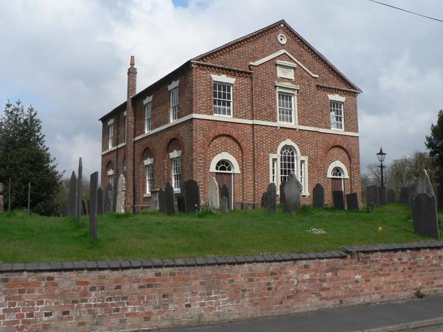
Image: © Chris Downer Taken: 18 Apr 2008
Rebuilt in 1841 according to the plaque in the gable, this chapel is on the main street in this most bizarrely named village.
Images are licensed for reuse under creativecommons.org/licenses/by-sa/2.0
Image Location
Latitude
52.653615
Longitude
-1.415164