Sheffield: Wicker Weir and Lady?s Bridge
Introduction
The photograph on this page of Sheffield: Wicker Weir and Lady?s Bridge by Chris Downer as part of the Geograph project.
The Geograph project started in 2005 with the aim of publishing, organising and preserving representative images for every square kilometre of Great Britain, Ireland and the Isle of Man.

There are currently over 7.5m images from over 14,400 individuals and you can help contribute to the project by visiting https://www.geograph.org.uk
Sheffield: Wicker Weir and Lady?s Bridge
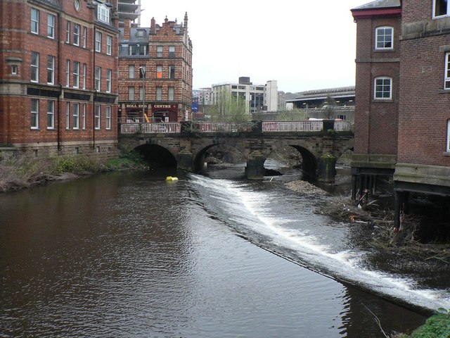
Image: © Chris Downer Taken: 25 Apr 2008
Looking downstream along the River Don towards Lady’s Bridge, the earliest crossing point in Sheffield which dates from the 1540s.
Images are licensed for reuse under creativecommons.org/licenses/by-sa/2.0
Image Location


Leaflet Map data © OpenStreetMap
Latitude
53.38575
Longitude
-1.463971