Chester - Chester North junction
Introduction
The photograph on this page of Chester - Chester North junction by Mike Harris as part of the Geograph project.
The Geograph project started in 2005 with the aim of publishing, organising and preserving representative images for every square kilometre of Great Britain, Ireland and the Isle of Man.

There are currently over 7.5m images from over 14,400 individuals and you can help contribute to the project by visiting https://www.geograph.org.uk
Chester - Chester North junction
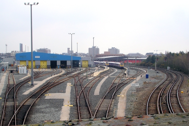
Image: © Mike Harris Taken: 16 Apr 2008
Chester. View from the disused Mickle Trafford railway at Brook Lane railway bridge showing Chester North junction just north of Chester station. The station (see Image) is visible mid-field and the former Chester shot tower on the left in the distance. Image
Images are licensed for reuse under creativecommons.org/licenses/by-sa/2.0
Image Location


Leaflet Map data © OpenStreetMap
Latitude
53.201183
Longitude
-2.886347