Chester - Fairfield Road bridge
Introduction
The photograph on this page of Chester - Fairfield Road bridge by Mike Harris as part of the Geograph project.
The Geograph project started in 2005 with the aim of publishing, organising and preserving representative images for every square kilometre of Great Britain, Ireland and the Isle of Man.

There are currently over 7.5m images from over 14,400 individuals and you can help contribute to the project by visiting https://www.geograph.org.uk
Chester - Fairfield Road bridge
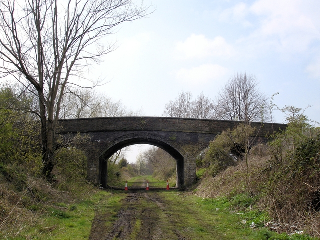
Image: © Mike Harris Taken: 16 Apr 2008
Chester. On the disused Mickle Trafford railway just east of the Fairfield Road bridge. The rail track is being developed by SusTrans as a cycleway and this part will also soon be the new extension of the Longster Trail running from Guilden Sutton to Blacon. The traffic cones and JCB tracks are a positive indication that SusTrans work was in progress at the time the picture was taken! Compare with Image taken from the other side of the bridge looking away from Chester.
Images are licensed for reuse under creativecommons.org/licenses/by-sa/2.0
Image Location
Latitude
53.205537
Longitude
-2.86877