Which Road is Which?
Introduction
The photograph on this page of Which Road is Which? by Ian Paterson as part of the Geograph project.
The Geograph project started in 2005 with the aim of publishing, organising and preserving representative images for every square kilometre of Great Britain, Ireland and the Isle of Man.

There are currently over 7.5m images from over 14,400 individuals and you can help contribute to the project by visiting https://www.geograph.org.uk
Which Road is Which?
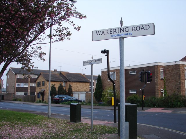
Image: © Ian Paterson Taken: 7 May 2008
Two Shoeburyness signs appear to be oriented in the same direction. Wakerling Road is 'out' by 90 degrees. the road leading off to the left is Blackgate Road.
Images are licensed for reuse under creativecommons.org/licenses/by-sa/2.0
Image Location


Leaflet Map data © OpenStreetMap
Latitude
51.53452
Longitude
0.799658