Derelict buildings by farm track
Introduction
The photograph on this page of Derelict buildings by farm track by Espresso Addict as part of the Geograph project.
The Geograph project started in 2005 with the aim of publishing, organising and preserving representative images for every square kilometre of Great Britain, Ireland and the Isle of Man.

There are currently over 7.5m images from over 14,400 individuals and you can help contribute to the project by visiting https://www.geograph.org.uk
Derelict buildings by farm track
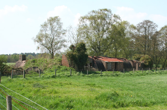
Image: © Espresso Addict Taken: 6 May 2008
Another view of some of a group of derelict buildings by a farm track running south east (not a right of way). The area had several military uses over the 20th century, but the buildings were probably accommodation associated with the use of Prees Common as an airfield during the Second World War. For a close up of the central of these buildings, see: Image Twemlows Big Wood is visible in the distance
Images are licensed for reuse under creativecommons.org/licenses/by-sa/2.0
Image Location
Latitude
52.924203
Longitude
-2.636733