Pasture by Twemlows Big Wood
Introduction
The photograph on this page of Pasture by Twemlows Big Wood by Espresso Addict as part of the Geograph project.
The Geograph project started in 2005 with the aim of publishing, organising and preserving representative images for every square kilometre of Great Britain, Ireland and the Isle of Man.

There are currently over 7.5m images from over 14,400 individuals and you can help contribute to the project by visiting https://www.geograph.org.uk
Pasture by Twemlows Big Wood
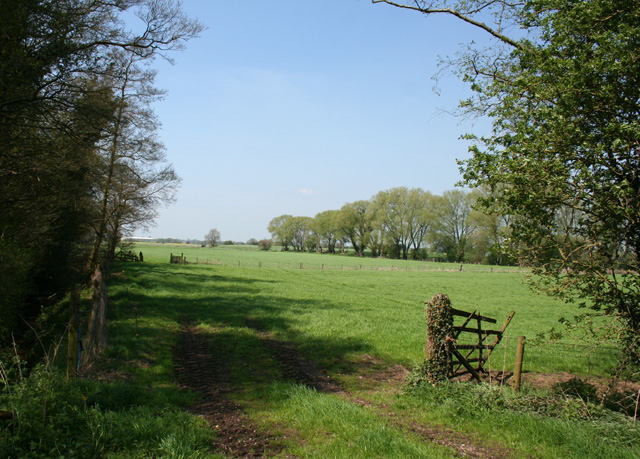
Image: © Espresso Addict Taken: 6 May 2008
Small pasture fields beside Twemlows Big Wood (left). An unnamed stream is hidden in the trees on the left, and one of its many tributaries runs by the line of willows (right). Vehicles on the A41 are visible in the middle distance, and the building on the horizon is on the A49. View from the junction of the track to The Twemlows with the public footpath running south
Images are licensed for reuse under creativecommons.org/licenses/by-sa/2.0
Image Location
Latitude
52.925268
Longitude
-2.639277