Site of Frillinghurst Wood (1)
Introduction
The photograph on this page of Site of Frillinghurst Wood (1) by Simon Carey as part of the Geograph project.
The Geograph project started in 2005 with the aim of publishing, organising and preserving representative images for every square kilometre of Great Britain, Ireland and the Isle of Man.

There are currently over 7.5m images from over 14,400 individuals and you can help contribute to the project by visiting https://www.geograph.org.uk
Site of Frillinghurst Wood (1)
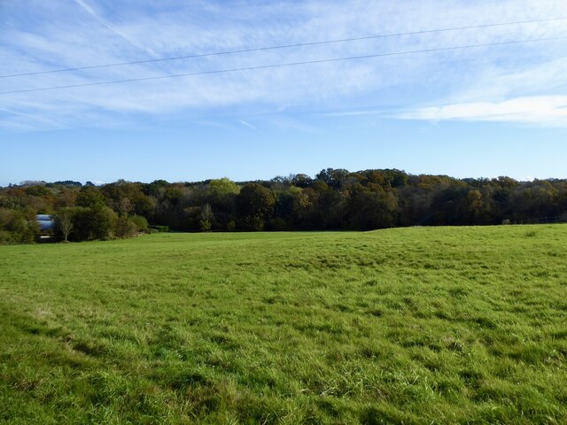
Image: © Simon Carey Taken: 27 Oct 2024
Once the south eastern section of Frillinghurst. The wood still existed on a 1948 aerial map but had disappeared by the time of a 1965 OS map. Another former part of the wood was located north of the public bridleway, see Image
Images are licensed for reuse under creativecommons.org/licenses/by-sa/2.0
Image Location
Latitude
51.10118
Longitude
-0.664285