Frillinghurst Farm
Introduction
The photograph on this page of Frillinghurst Farm by Simon Carey as part of the Geograph project.
The Geograph project started in 2005 with the aim of publishing, organising and preserving representative images for every square kilometre of Great Britain, Ireland and the Isle of Man.

There are currently over 7.5m images from over 14,400 individuals and you can help contribute to the project by visiting https://www.geograph.org.uk
Frillinghurst Farm
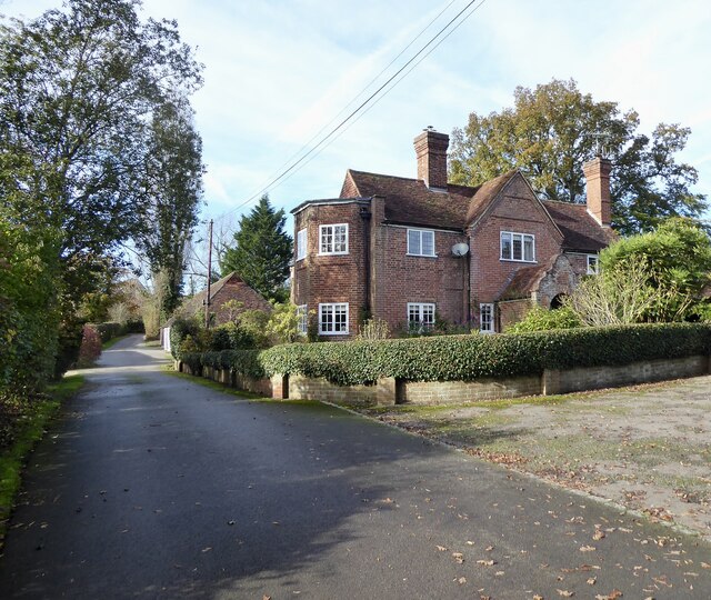
Image: © Simon Carey Taken: 27 Oct 2024
Marked on older OS maps as Jays Farm and built in the first decade of the 20th century.
Images are licensed for reuse under creativecommons.org/licenses/by-sa/2.0
Image Location
Latitude
51.102054
Longitude
-0.662118