The Waterside
Introduction
The photograph on this page of The Waterside by Ian Capper as part of the Geograph project.
The Geograph project started in 2005 with the aim of publishing, organising and preserving representative images for every square kilometre of Great Britain, Ireland and the Isle of Man.

There are currently over 7.5m images from over 14,400 individuals and you can help contribute to the project by visiting https://www.geograph.org.uk
The Waterside
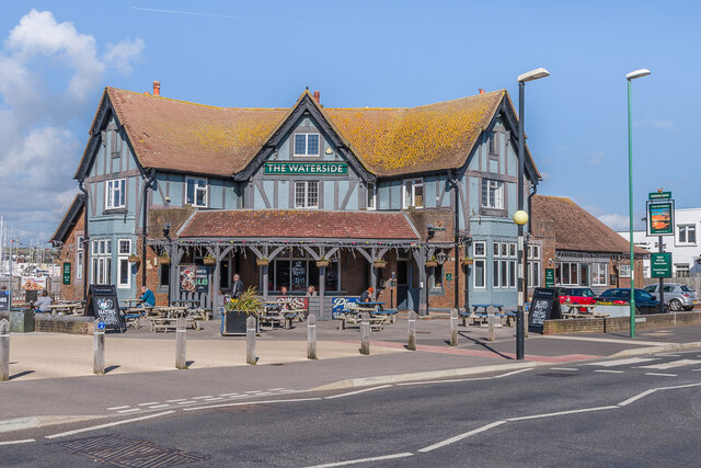
Image: © Ian Capper Taken: 17 Mar 2022
Late 1930s pub on Ferry Road designed by R Stavers Hessell Tiltman. Originally named The Tudor House, it was renamed The Lady Jane in c.1967 and then given its current name, The Waterside, in c.1986.
Images are licensed for reuse under creativecommons.org/licenses/by-sa/2.0
Image Location
Latitude
50.82955
Longitude
-0.272213