Howsham Hall and Stableblock
Introduction
The photograph on this page of Howsham Hall and Stableblock by DS Pugh as part of the Geograph project.
The Geograph project started in 2005 with the aim of publishing, organising and preserving representative images for every square kilometre of Great Britain, Ireland and the Isle of Man.

There are currently over 7.5m images from over 14,400 individuals and you can help contribute to the project by visiting https://www.geograph.org.uk
Howsham Hall and Stableblock
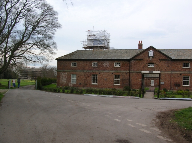
Image: © DS Pugh Taken: 26 Apr 2008
The hall is currently undergoing restoration. On the right, the red brick building is the stableblock, built in 1775 by Carr. The Derwent runs behind.
Images are licensed for reuse under creativecommons.org/licenses/by-sa/2.0
Image Location
Latitude
54.058242
Longitude
-0.876813