Road junction on the A689
Introduction
The photograph on this page of Road junction on the A689 by Robert Graham as part of the Geograph project.
The Geograph project started in 2005 with the aim of publishing, organising and preserving representative images for every square kilometre of Great Britain, Ireland and the Isle of Man.

There are currently over 7.5m images from over 14,400 individuals and you can help contribute to the project by visiting https://www.geograph.org.uk
Road junction on the A689
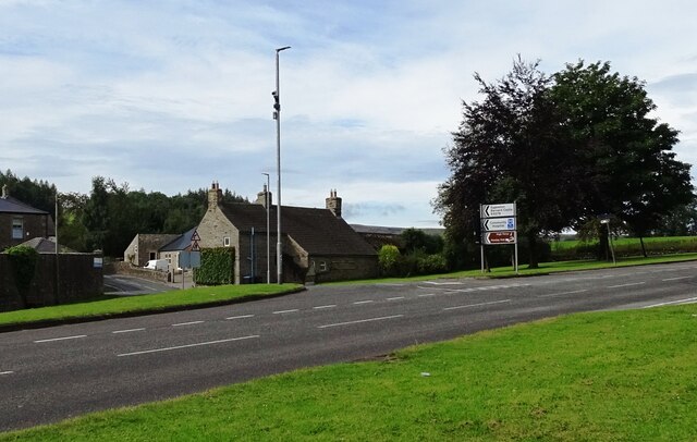
Image: © Robert Graham Taken: 13 Aug 2024
On the west side of Stanhope, this is the junction of the B6278 which runs south across the River Wear and then over the moors to Teesdale. The main road is the A689 which runs along Weardale, connecting all the towns and villages.
Images are licensed for reuse under creativecommons.org/licenses/by-sa/2.0
Image Location


Leaflet Map data © OpenStreetMap
Latitude
54.748834
Longitude
-2.018145