Track to conifer plantation
Introduction
The photograph on this page of Track to conifer plantation by Kevin Waterhouse as part of the Geograph project.
The Geograph project started in 2005 with the aim of publishing, organising and preserving representative images for every square kilometre of Great Britain, Ireland and the Isle of Man.

There are currently over 7.5m images from over 14,400 individuals and you can help contribute to the project by visiting https://www.geograph.org.uk
Track to conifer plantation
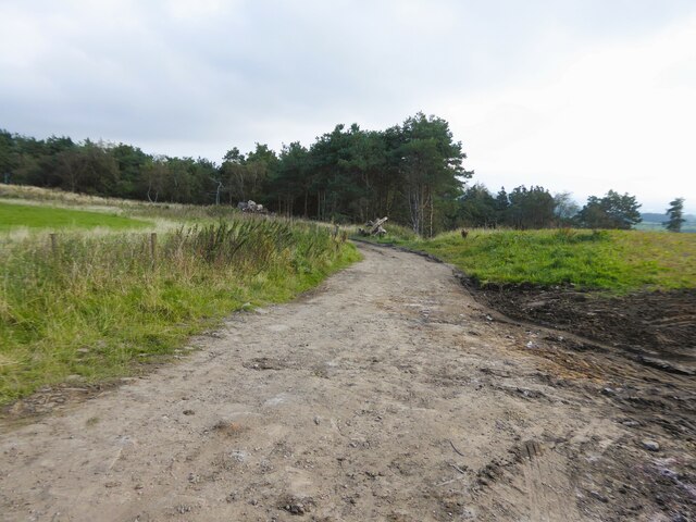
Image: © Kevin Waterhouse Taken: 20 Sep 2024
The track has come from Quarlton Fold Farm and a footpath goes right (off camera) to reach another public footpath on a track to Top o'th Quarlton
Images are licensed for reuse under creativecommons.org/licenses/by-sa/2.0
Image Location


Leaflet Map data © OpenStreetMap
Latitude
53.635161
Longitude
-2.375473