Isle of Dogs: West India Docks drawbridge
Introduction
The photograph on this page of Isle of Dogs: West India Docks drawbridge by Nigel Cox as part of the Geograph project.
The Geograph project started in 2005 with the aim of publishing, organising and preserving representative images for every square kilometre of Great Britain, Ireland and the Isle of Man.

There are currently over 7.5m images from over 14,400 individuals and you can help contribute to the project by visiting https://www.geograph.org.uk
Isle of Dogs: West India Docks drawbridge
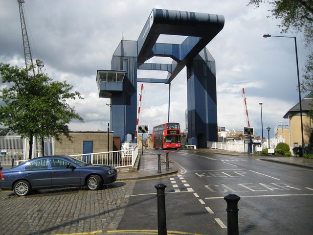
Image: © Nigel Cox Taken: 1 May 2008
Known to all as the blue bridge the drawbridge enables traffic on the A1206 Preston's Road to pass over the channel leading to the South Dock of the West India Docks from the Blackwall Reach of the River Thames. The drawbridge was built between 1967 and 1969 and some indication of its size can be gained by the dwarfing of the double-decker bus beneath it.
Images are licensed for reuse under creativecommons.org/licenses/by-sa/2.0
Image Location


Leaflet Map data © OpenStreetMap
Latitude
51.500225
Longitude
-0.008921