Butcher's Arms, Abbotskerswell
Introduction
The photograph on this page of Butcher's Arms, Abbotskerswell by Derek Harper as part of the Geograph project.
The Geograph project started in 2005 with the aim of publishing, organising and preserving representative images for every square kilometre of Great Britain, Ireland and the Isle of Man.

There are currently over 7.5m images from over 14,400 individuals and you can help contribute to the project by visiting https://www.geograph.org.uk
Butcher's Arms, Abbotskerswell
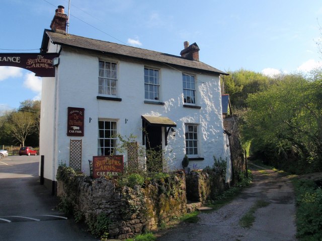
Image: © Derek Harper Taken: 1 May 2008
The right-hand of the two buildings shown in Image, with the bridleway Slade Lane running off to the right.
Images are licensed for reuse under creativecommons.org/licenses/by-sa/2.0
Image Location
Latitude
50.505491
Longitude
-3.611496