Lane at Pentre-bach Uchaf
Introduction
The photograph on this page of Lane at Pentre-bach Uchaf by Jeff Buck as part of the Geograph project.
The Geograph project started in 2005 with the aim of publishing, organising and preserving representative images for every square kilometre of Great Britain, Ireland and the Isle of Man.

There are currently over 7.5m images from over 14,400 individuals and you can help contribute to the project by visiting https://www.geograph.org.uk
Lane at Pentre-bach Uchaf
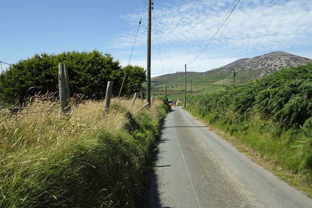
Image: © Jeff Buck Taken: 29 Jul 2024
Lane at Pentre-bach Uchaf to the southeast of Llanaelhaearn and below Moelfre. This part of the lane is at the very tip of grid square SH3943.
Images are licensed for reuse under creativecommons.org/licenses/by-sa/2.0
Image Location
Latitude
52.969108
Longitude
-4.39487