Houses and Play Area, Fugglestone
Introduction
The photograph on this page of Houses and Play Area, Fugglestone by Des Blenkinsopp as part of the Geograph project.
The Geograph project started in 2005 with the aim of publishing, organising and preserving representative images for every square kilometre of Great Britain, Ireland and the Isle of Man.

There are currently over 7.5m images from over 14,400 individuals and you can help contribute to the project by visiting https://www.geograph.org.uk
Houses and Play Area, Fugglestone
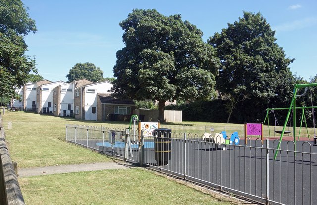
Image: © Des Blenkinsopp Taken: 13 Aug 2024
Fugglestone St Peter was an ancient parish up to 1894 when it merged with neighbouring parishes. This picture is taken along a residential street simply called Fugglestone.
Images are licensed for reuse under creativecommons.org/licenses/by-sa/2.0
Image Location
Latitude
51.081916
Longitude
-1.85148