Bridges over the Overground
Introduction
The photograph on this page of Bridges over the Overground by Robin Stott as part of the Geograph project.
The Geograph project started in 2005 with the aim of publishing, organising and preserving representative images for every square kilometre of Great Britain, Ireland and the Isle of Man.

There are currently over 7.5m images from over 14,400 individuals and you can help contribute to the project by visiting https://www.geograph.org.uk
Bridges over the Overground
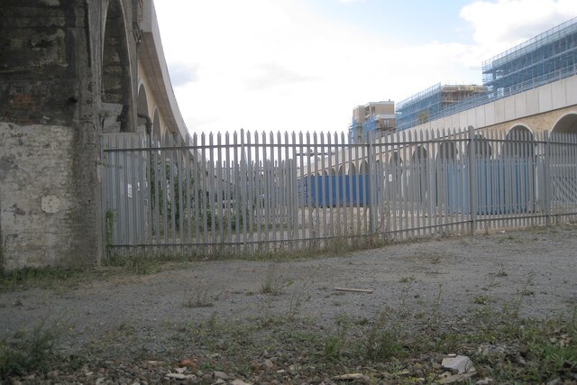
Image: © Robin Stott Taken: 29 Aug 2024
This is the view northwest after passing under the railway bridge in Image It can't be reconciled with current maps, which should show the northernmost of three parallel bridges carrying mainlines from London Bridge. In other photos of the bridge on the right it appears new. The conclusion must be that it is indeed new, replacing an older bridge but on a more northerly line. Photo number 7881411.
Images are licensed for reuse under creativecommons.org/licenses/by-sa/2.0
Image Location
Latitude
51.487489
Longitude
-0.048367