Hen Bentref Llandegfan
Introduction
The photograph on this page of Hen Bentref Llandegfan by Eirian Evans as part of the Geograph project.
The Geograph project started in 2005 with the aim of publishing, organising and preserving representative images for every square kilometre of Great Britain, Ireland and the Isle of Man.

There are currently over 7.5m images from over 14,400 individuals and you can help contribute to the project by visiting https://www.geograph.org.uk
Hen Bentref Llandegfan
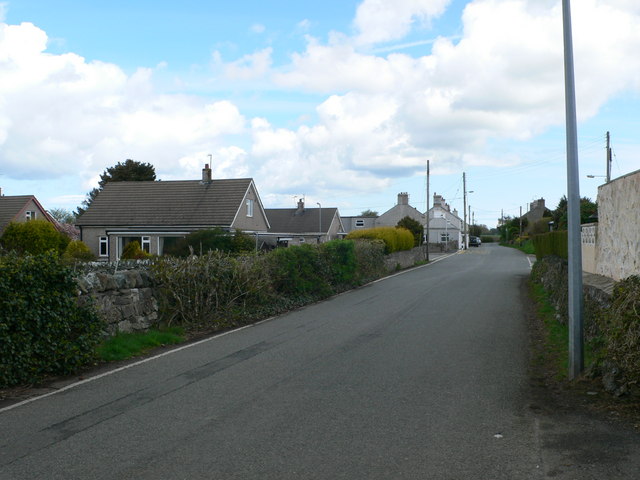
Image: © Eirian Evans Taken: 2 May 2008
The old original village of Llandegfan which is to the east of the church; the newer area is to the south of the church.
Images are licensed for reuse under creativecommons.org/licenses/by-sa/2.0
Image Location
Latitude
53.250571
Longitude
-4.14456