Hillend Road
Introduction
The photograph on this page of Hillend Road by wrobison as part of the Geograph project.
The Geograph project started in 2005 with the aim of publishing, organising and preserving representative images for every square kilometre of Great Britain, Ireland and the Isle of Man.

There are currently over 7.5m images from over 14,400 individuals and you can help contribute to the project by visiting https://www.geograph.org.uk
Hillend Road
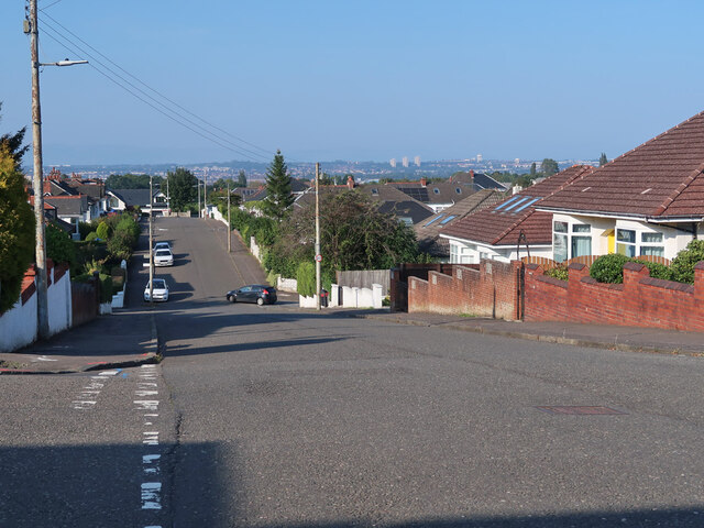
Image: © wrobison Taken: 7 Sep 2024
Looking over the eastern suburbs to the 3 towers at Cranhill. The road is on National Cycle Route 756.
Images are licensed for reuse under creativecommons.org/licenses/by-sa/2.0
Image Location
Latitude
55.812434
Longitude
-4.207243