Burn near Barnauld Farm
Introduction
The photograph on this page of Burn near Barnauld Farm by Thomas Nugent as part of the Geograph project.
The Geograph project started in 2005 with the aim of publishing, organising and preserving representative images for every square kilometre of Great Britain, Ireland and the Isle of Man.

There are currently over 7.5m images from over 14,400 individuals and you can help contribute to the project by visiting https://www.geograph.org.uk
Burn near Barnauld Farm
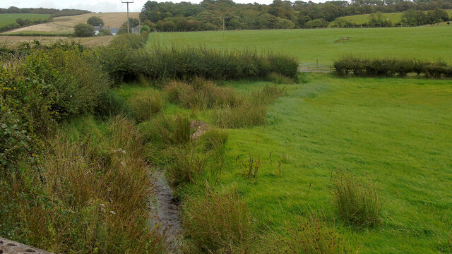
Image: © Thomas Nugent Taken: 22 Aug 2024
It runs down Barnauld Glen, past Barnauld Farm before passing under the B881 road, eventually running into Loch Quien.
Images are licensed for reuse under creativecommons.org/licenses/by-sa/2.0
Image Location
Latitude
55.795542
Longitude
-5.072996