East Court Playing Fields
Introduction
The photograph on this page of East Court Playing Fields by Barry Hunter as part of the Geograph project.
The Geograph project started in 2005 with the aim of publishing, organising and preserving representative images for every square kilometre of Great Britain, Ireland and the Isle of Man.

There are currently over 7.5m images from over 14,400 individuals and you can help contribute to the project by visiting https://www.geograph.org.uk
East Court Playing Fields
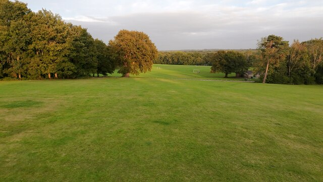
Image: © Barry Hunter Taken: 9 Sep 2024
Taken from the slope below the main East Court Buildings.
Images are licensed for reuse under creativecommons.org/licenses/by-sa/2.0
Image Location
Latitude
51.128974
Longitude
0.002939