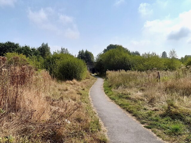
Footpath on the line of a former tramway
Introduction
The photograph on this page of Footpath on the line of a former tramway by Ian Calderwood as part of the Geograph project.
The Geograph project started in 2005 with the aim of publishing, organising and preserving representative images for every square kilometre of Great Britain, Ireland and the Isle of Man.
There are currently over 7.5m images from over 14,400 individuals and you can help contribute to the project by visiting https://www.geograph.org.uk

Image: © Ian Calderwood Taken: 6 Sep 2024
This stretch of footpath is on the line of an old tramway, which ran from Loscoe Colliery to wharves on the Erewash and Nottingham Canals, near the Anchor Inn. It is marked on the Ordnance Survey First Series map of 1836. By 1880, the western part of the tramway had been replaced by the Midland Railway Heanor Branch. This railway retained a junction with the remaining eastern part of the tramway, which still served the canals. By 1900, the remaining tramway had disappeared and this stretch is marked as a footpath.

