Low Pittington
Introduction
The photograph on this page of Low Pittington by Uncredited as part of the Geograph project.
The Geograph project started in 2005 with the aim of publishing, organising and preserving representative images for every square kilometre of Great Britain, Ireland and the Isle of Man.

There are currently over 7.5m images from over 14,400 individuals and you can help contribute to the project by visiting https://www.geograph.org.uk
Low Pittington
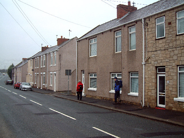
Image: © Uncredited Taken: 3 Dec 2003
A pity that the camera couldn't show BOTH sides of this street in Low Pittington. On this side of the street, there are classic Durham pit village houses, but on the opposite site is a very expensive, luxurious, detached house.
Images are licensed for reuse under creativecommons.org/licenses/by-sa/2.0
Image Location
Latitude
54.797334
Longitude
-1.494122