Former Junction Inn at the junction
Introduction
The photograph on this page of Former Junction Inn at the junction by Kevin Waterhouse as part of the Geograph project.
The Geograph project started in 2005 with the aim of publishing, organising and preserving representative images for every square kilometre of Great Britain, Ireland and the Isle of Man.

There are currently over 7.5m images from over 14,400 individuals and you can help contribute to the project by visiting https://www.geograph.org.uk
Former Junction Inn at the junction
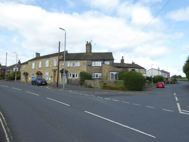
Image: © Kevin Waterhouse Taken: 21 Aug 2024
The junction is Moorbottom Road to the left on which the stone cleaned former pub sits, Riley Lane is straight ahead and Holdsworth Road to the right and behind camera.
Images are licensed for reuse under creativecommons.org/licenses/by-sa/2.0
Image Location
Latitude
53.757749
Longitude
-1.879383