South Avenue
Introduction
The photograph on this page of South Avenue by Ian Capper as part of the Geograph project.
The Geograph project started in 2005 with the aim of publishing, organising and preserving representative images for every square kilometre of Great Britain, Ireland and the Isle of Man.

There are currently over 7.5m images from over 14,400 individuals and you can help contribute to the project by visiting https://www.geograph.org.uk
South Avenue
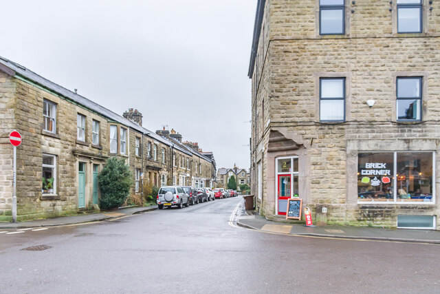
Image: © Ian Capper Taken: 12 Mar 2024
Looking along South Avenue from its junction with Market Street. The houses on this section are shown on the 1879 1:500 plan when the road was named as South Street, a name now used just for the section west of here leading onto Market Place.
Images are licensed for reuse under creativecommons.org/licenses/by-sa/2.0
Image Location
Latitude
53.255524
Longitude
-1.913324