Radical Pend, Bonnybridge
Introduction
The photograph on this page of Radical Pend, Bonnybridge by Richard Webb as part of the Geograph project.
The Geograph project started in 2005 with the aim of publishing, organising and preserving representative images for every square kilometre of Great Britain, Ireland and the Isle of Man.

There are currently over 7.5m images from over 14,400 individuals and you can help contribute to the project by visiting https://www.geograph.org.uk
Radical Pend, Bonnybridge
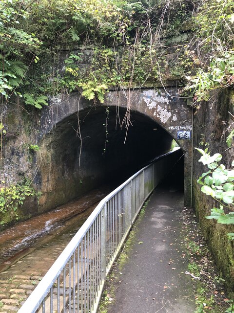
Image: © Richard Webb Taken: 30 Aug 2024
The eastern portal of a tunnel under the Forth and Clyde Canal. There is a dry walkway, but the road is shared with a burn.
Images are licensed for reuse under creativecommons.org/licenses/by-sa/2.0
Image Location
Latitude
55.999844
Longitude
-3.886429