Foundry, Ordsall Lane, Salford
Introduction
The photograph on this page of Foundry, Ordsall Lane, Salford by Stephen Richards as part of the Geograph project.
The Geograph project started in 2005 with the aim of publishing, organising and preserving representative images for every square kilometre of Great Britain, Ireland and the Isle of Man.

There are currently over 7.5m images from over 14,400 individuals and you can help contribute to the project by visiting https://www.geograph.org.uk
Foundry, Ordsall Lane, Salford
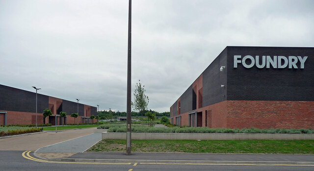
Image: © Stephen Richards Taken: 29 May 2017
A business park built on brownfield land by the Manchester Ship Canal in the early 2010s. Quite interestingly designed (Image]).
Images are licensed for reuse under creativecommons.org/licenses/by-sa/2.0
Image Location
Latitude
53.468877
Longitude
-2.276388