'Restricted Byway' through the rape field
Introduction
The photograph on this page of 'Restricted Byway' through the rape field by John M as part of the Geograph project.
The Geograph project started in 2005 with the aim of publishing, organising and preserving representative images for every square kilometre of Great Britain, Ireland and the Isle of Man.

There are currently over 7.5m images from over 14,400 individuals and you can help contribute to the project by visiting https://www.geograph.org.uk
'Restricted Byway' through the rape field
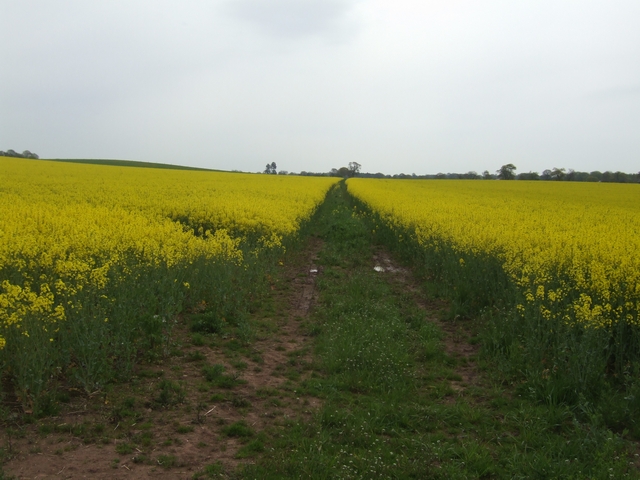
Image: © John M Taken: 3 May 2008
Apart from the byway the square is filled by flowering rape. After this is harvested in July it will be put down to winter wheat.
Images are licensed for reuse under creativecommons.org/licenses/by-sa/2.0
Image Location


Leaflet Map data © OpenStreetMap
Latitude
52.871508
Longitude
-2.488436