Bridleway near Thurgarton
Introduction
The photograph on this page of Bridleway near Thurgarton by Jonathan Clitheroe as part of the Geograph project.
The Geograph project started in 2005 with the aim of publishing, organising and preserving representative images for every square kilometre of Great Britain, Ireland and the Isle of Man.

There are currently over 7.5m images from over 14,400 individuals and you can help contribute to the project by visiting https://www.geograph.org.uk
Bridleway near Thurgarton
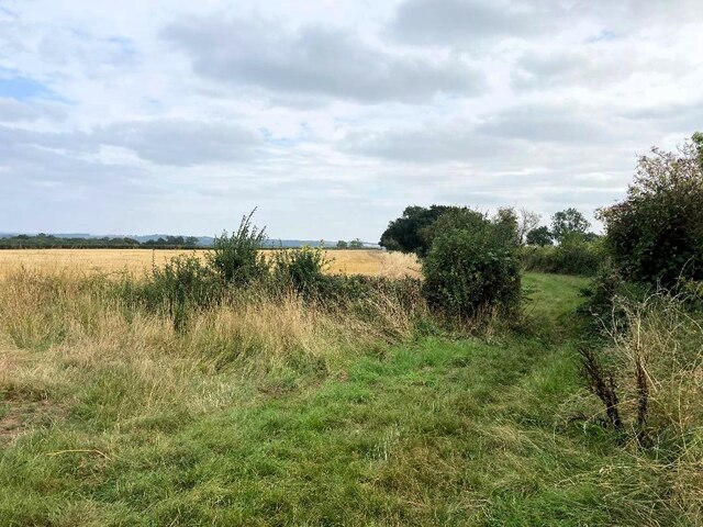
Image: © Jonathan Clitheroe Taken: 31 Aug 2024
Path which follows the brow of the dumble above Thurgarton Beck - dumble being a dialectal description of a wooded valley, hollow, or deep cut water course. The phrase is generally confined to the north and east midlands of England.
Images are licensed for reuse under creativecommons.org/licenses/by-sa/2.0
Image Location
Latitude
53.032984
Longitude
-0.988033