Grangewood Park
Introduction
The photograph on this page of Grangewood Park by Ian Capper as part of the Geograph project.
The Geograph project started in 2005 with the aim of publishing, organising and preserving representative images for every square kilometre of Great Britain, Ireland and the Isle of Man.

There are currently over 7.5m images from over 14,400 individuals and you can help contribute to the project by visiting https://www.geograph.org.uk
Grangewood Park
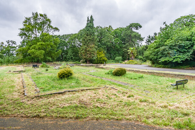
Image: © Ian Capper Taken: 6 Jul 2024
Partly wooded open space alongside Grange Road, a former private estate with a 19th Century mansion. The estate was bought by Croydon Corporation in 1900, who then developed a number of recreational facilities on part of the site. The mansion was demolished in 1960 having fallen into disrepair. This is the site of the mansion with the layout of the walls retained.
Images are licensed for reuse under creativecommons.org/licenses/by-sa/2.0
Image Location
Latitude
51.403739
Longitude
-0.089748