Cycle track
Introduction
The photograph on this page of Cycle track by Sam Kelly as part of the Geograph project.
The Geograph project started in 2005 with the aim of publishing, organising and preserving representative images for every square kilometre of Great Britain, Ireland and the Isle of Man.

There are currently over 7.5m images from over 14,400 individuals and you can help contribute to the project by visiting https://www.geograph.org.uk
Cycle track
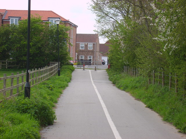
Image: © Sam Kelly Taken: 3 May 2008
The cycle track runs between New Lane and the Monk's Cross Park & Ride site.
Images are licensed for reuse under creativecommons.org/licenses/by-sa/2.0
Image Location
Latitude
53.981336
Longitude
-1.058517