The Old Toll House at Ha'penny Bridge
Introduction
The photograph on this page of The Old Toll House at Ha'penny Bridge by Richard Kay as part of the Geograph project.
The Geograph project started in 2005 with the aim of publishing, organising and preserving representative images for every square kilometre of Great Britain, Ireland and the Isle of Man.

There are currently over 7.5m images from over 14,400 individuals and you can help contribute to the project by visiting https://www.geograph.org.uk
The Old Toll House at Ha'penny Bridge
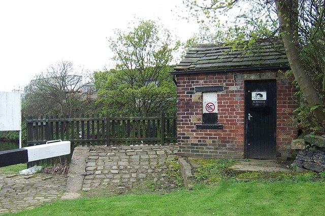
Image: © Richard Kay Taken: 3 May 2008
Ha'penny Bridge was provided for boat men to cross the River Calder as they left Brighouse basin on their journey downstream towards Mirfield. The ramp up to the bridge can be seen on the left of the toll house. Sadly, the bridge no longer exists, but old prints are available.
Images are licensed for reuse under creativecommons.org/licenses/by-sa/2.0
Image Location


Leaflet Map data © OpenStreetMap
Latitude
53.699447
Longitude
-1.775797