First field out of Morpeth
Introduction
The photograph on this page of First field out of Morpeth by Richard Webb as part of the Geograph project.
The Geograph project started in 2005 with the aim of publishing, organising and preserving representative images for every square kilometre of Great Britain, Ireland and the Isle of Man.

There are currently over 7.5m images from over 14,400 individuals and you can help contribute to the project by visiting https://www.geograph.org.uk
First field out of Morpeth
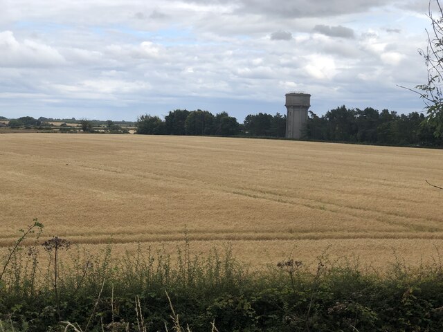
Image: © Richard Webb Taken: 26 Aug 2024
Arable land by Northgate Hospital on the northern edge of Morpeth near the junction of the A1 and road from Wooler and Coldstream. I had hoped to use a bridleway here but it was overgrown. The water tower at Northgate Hospital is a striking landmark, but trees probably hide it from the two very busy roads.
Images are licensed for reuse under creativecommons.org/licenses/by-sa/2.0
Image Location


Leaflet Map data © OpenStreetMap
Latitude
55.188371
Longitude
-1.712239