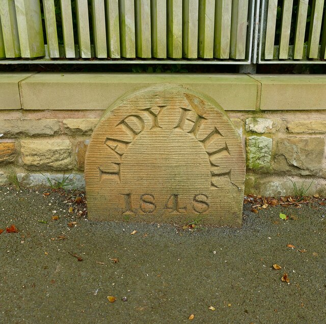
Old Boundary Marker on Old Hall Lane, Worsley
Introduction
The photograph on this page of Old Boundary Marker on Old Hall Lane, Worsley by C Leather as part of the Geograph project.
The Geograph project started in 2005 with the aim of publishing, organising and preserving representative images for every square kilometre of Great Britain, Ireland and the Isle of Man.
There are currently over 7.5m images from over 14,400 individuals and you can help contribute to the project by visiting https://www.geograph.org.uk

Image: © C Leather Taken: 17 Aug 2024
Boundary Marker in the entrance to Lady Hill House on the south side of Old Hall Lane 20 metres west of the junction with the A575 Walkden Road. In the former Worsley parish. Recorded as one of five place name stones around Worsley in a document of City Boundary Stones. There is no evidence of Ladyhill being a township or parish. Greater Manchester Historic Environment Record says it is a Plague Stone. It may just be the name of the house and doesn’t look very old. Milestone Society National ID: LA_LADH01bm

