St Dunstan's Road
Introduction
The photograph on this page of St Dunstan's Road by Ian Capper as part of the Geograph project.
The Geograph project started in 2005 with the aim of publishing, organising and preserving representative images for every square kilometre of Great Britain, Ireland and the Isle of Man.

There are currently over 7.5m images from over 14,400 individuals and you can help contribute to the project by visiting https://www.geograph.org.uk
St Dunstan's Road
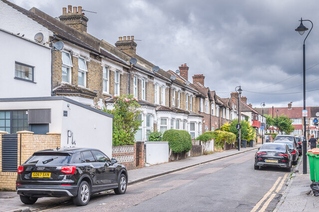
Image: © Ian Capper Taken: 6 Jul 2024
Cul de sac off High Street and Portland Road, licensed in 1870. The road is marked on the 1871 6" map with some housing, then named St John's Road. Full development, including the terrace nearest on the left, is shown on the 1895 1:1056 plan. The current name doesn't appear until the 1947 25" map.
Images are licensed for reuse under creativecommons.org/licenses/by-sa/2.0
Image Location
Latitude
51.399009
Longitude
-0.076604