Hammer Wood
Introduction
The photograph on this page of Hammer Wood by Simon Carey as part of the Geograph project.
The Geograph project started in 2005 with the aim of publishing, organising and preserving representative images for every square kilometre of Great Britain, Ireland and the Isle of Man.

There are currently over 7.5m images from over 14,400 individuals and you can help contribute to the project by visiting https://www.geograph.org.uk
Hammer Wood
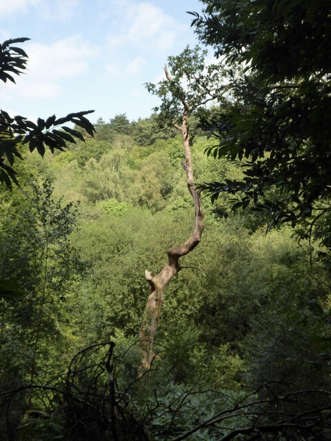
Image: © Simon Carey Taken: 23 Aug 2024
Viewed from Glebe Wood. The valley currently contains Hammer Stream but was once the location for the westward end of Image
Images are licensed for reuse under creativecommons.org/licenses/by-sa/2.0
Image Location
Latitude
51.008476
Longitude
-0.797802