Tendring Footpath 15
Introduction
The photograph on this page of Tendring Footpath 15 by Glyn Baker as part of the Geograph project.
The Geograph project started in 2005 with the aim of publishing, organising and preserving representative images for every square kilometre of Great Britain, Ireland and the Isle of Man.

There are currently over 7.5m images from over 14,400 individuals and you can help contribute to the project by visiting https://www.geograph.org.uk
Tendring Footpath 15
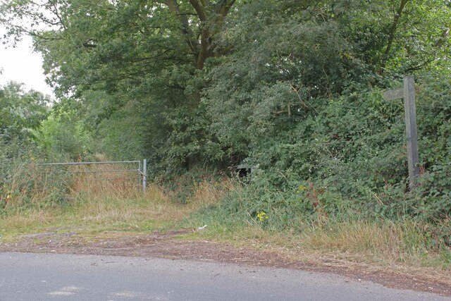
Image: © Glyn Baker Taken: 16 Aug 2024
This path runs for 218m to where it becomes Wheeley footpath 19 this comes out at the A133 B1033 Junction.
Images are licensed for reuse under creativecommons.org/licenses/by-sa/2.0
Image Location
Latitude
51.858982
Longitude
1.091529