Woodland on left bank of Hubberston Pill
Introduction
The photograph on this page of Woodland on left bank of Hubberston Pill by M J Roscoe as part of the Geograph project.
The Geograph project started in 2005 with the aim of publishing, organising and preserving representative images for every square kilometre of Great Britain, Ireland and the Isle of Man.

There are currently over 7.5m images from over 14,400 individuals and you can help contribute to the project by visiting https://www.geograph.org.uk
Woodland on left bank of Hubberston Pill
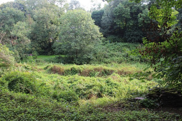
Image: © M J Roscoe Taken: 18 Aug 2024
In the right foreground are part of the remains of a riverside derelict lime kiln next to the cycleway; the water level in the river is low and it is overgrown .
Images are licensed for reuse under creativecommons.org/licenses/by-sa/2.0
Image Location
Latitude
51.723232
Longitude
-5.036976