Direction and distances signs near Cleddon, Monmouthshire
Introduction
The photograph on this page of Direction and distances signs near Cleddon, Monmouthshire by Jaggery as part of the Geograph project.
The Geograph project started in 2005 with the aim of publishing, organising and preserving representative images for every square kilometre of Great Britain, Ireland and the Isle of Man.

There are currently over 7.5m images from over 14,400 individuals and you can help contribute to the project by visiting https://www.geograph.org.uk
Direction and distances signs near Cleddon, Monmouthshire
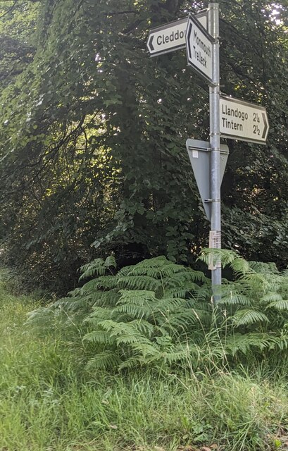
Image: © Jaggery Taken: 18 Aug 2024
Left on this https://www.geograph.org.uk/photo/7854078 narrow road for Cleddon. Ahead for Llandogo (2¼ miles) and Tintern (2½). Behind the camera for Trelleck and Monmouth.
Images are licensed for reuse under creativecommons.org/licenses/by-sa/2.0
Image Location
Latitude
51.731954
Longitude
-2.706859