Farm building near the B4233 in rural Monmouthshire
Introduction
The photograph on this page of Farm building near the B4233 in rural Monmouthshire by Jaggery as part of the Geograph project.
The Geograph project started in 2005 with the aim of publishing, organising and preserving representative images for every square kilometre of Great Britain, Ireland and the Isle of Man.

There are currently over 7.5m images from over 14,400 individuals and you can help contribute to the project by visiting https://www.geograph.org.uk
Farm building near the B4233 in rural Monmouthshire
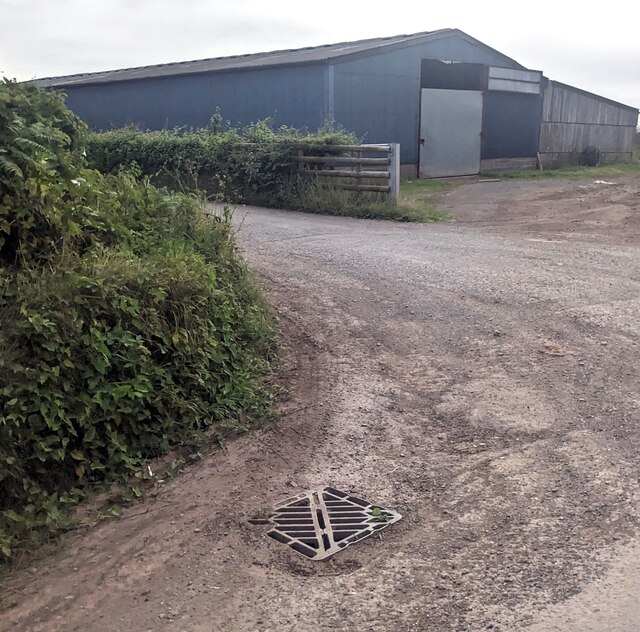
Image: © Jaggery Taken: 11 Aug 2024
Set back from the north side of the B4233 (here named Mynachdy Pitch) This https://www.geograph.org.uk/photo/7848384 Parc Gwyn Farm name sign is near the camera.
Images are licensed for reuse under creativecommons.org/licenses/by-sa/2.0
Image Location
Latitude
51.824506
Longitude
-2.945252