The Mead
Introduction
The photograph on this page of The Mead by Simon Carey as part of the Geograph project.
The Geograph project started in 2005 with the aim of publishing, organising and preserving representative images for every square kilometre of Great Britain, Ireland and the Isle of Man.

There are currently over 7.5m images from over 14,400 individuals and you can help contribute to the project by visiting https://www.geograph.org.uk
The Mead
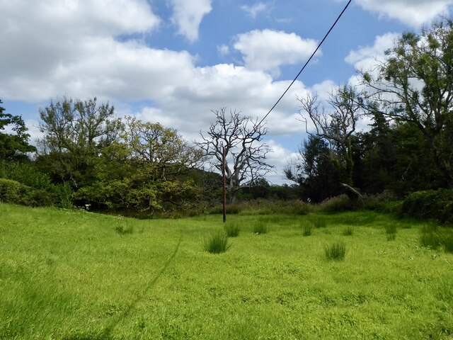
Image: © Simon Carey Taken: 11 Aug 2024
The name of the field according to Lodsworth's 1841 tithe map that is bounded by Lickfold Road to the south and the River Lod to the east.
Images are licensed for reuse under creativecommons.org/licenses/by-sa/2.0
Image Location
Latitude
51.02861
Longitude
-0.680205