St Mary, Beeston: west end and parish centre
Introduction
The photograph on this page of St Mary, Beeston: west end and parish centre by Stephen Craven as part of the Geograph project.
The Geograph project started in 2005 with the aim of publishing, organising and preserving representative images for every square kilometre of Great Britain, Ireland and the Isle of Man.

There are currently over 7.5m images from over 14,400 individuals and you can help contribute to the project by visiting https://www.geograph.org.uk
St Mary, Beeston: west end and parish centre
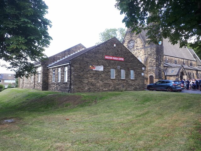
Image: © Stephen Craven Taken: 3 Aug 2024
The church is grade II listed (list entry 1255810). I didn't get a closer of the south side, entrance and west end due to wedding photographs being taken as I passed (the wedding party can just be seen in this view). But a recent, clear view of it can be seen at Image
Images are licensed for reuse under creativecommons.org/licenses/by-sa/2.0
Image Location
Latitude
53.772935
Longitude
-1.566477