Woolavington play area
Introduction
The photograph on this page of Woolavington play area by Neil Owen as part of the Geograph project.
The Geograph project started in 2005 with the aim of publishing, organising and preserving representative images for every square kilometre of Great Britain, Ireland and the Isle of Man.

There are currently over 7.5m images from over 14,400 individuals and you can help contribute to the project by visiting https://www.geograph.org.uk
Woolavington play area
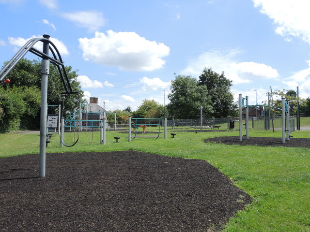
Image: © Neil Owen Taken: 18 Jul 2024
Adjoining the village hall is a modern play area. The site has had problems in the recent past with vandalism and anti-social behaviour, resulting with the installation of suveillance cameras.
Images are licensed for reuse under creativecommons.org/licenses/by-sa/2.0
Image Location
Latitude
51.168637
Longitude
-2.935497