Newton Road, Tollerton
Introduction
The photograph on this page of Newton Road, Tollerton by Chris Heaton as part of the Geograph project.
The Geograph project started in 2005 with the aim of publishing, organising and preserving representative images for every square kilometre of Great Britain, Ireland and the Isle of Man.

There are currently over 7.5m images from over 14,400 individuals and you can help contribute to the project by visiting https://www.geograph.org.uk
Newton Road, Tollerton
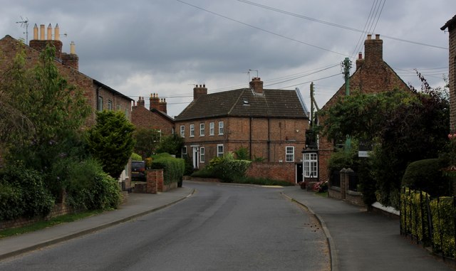
Image: © Chris Heaton Taken: 4 Aug 2024
A quiet village in the Vale of York, just off the East Coast Mainline and the A19 - tracing its roots back to the Domesday Book.
Images are licensed for reuse under creativecommons.org/licenses/by-sa/2.0
Image Location
Latitude
54.07127
Longitude
-1.216485