Lidgett Towers
Introduction
The photograph on this page of Lidgett Towers by Stephen Craven as part of the Geograph project.
The Geograph project started in 2005 with the aim of publishing, organising and preserving representative images for every square kilometre of Great Britain, Ireland and the Isle of Man.

There are currently over 7.5m images from over 14,400 individuals and you can help contribute to the project by visiting https://www.geograph.org.uk
Lidgett Towers
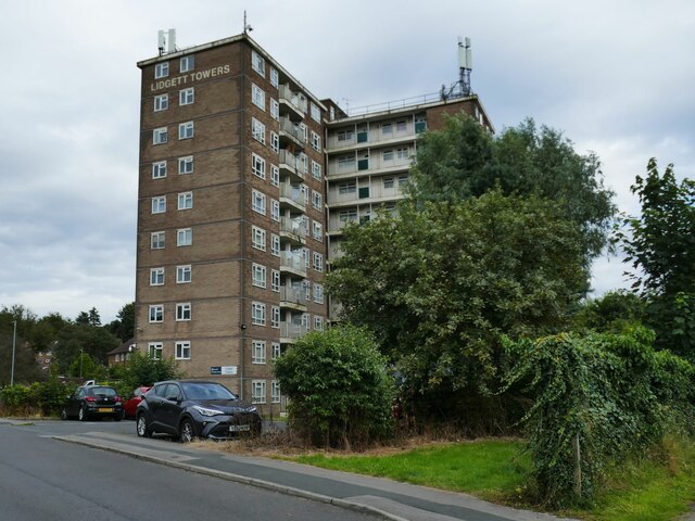
Image: © Stephen Craven Taken: 27 Jul 2024
A tower block on Larkhill Lane, taking its name from Lidgett Lane nearby. At ten storeys this is not a particularly tall example of its type.
Images are licensed for reuse under creativecommons.org/licenses/by-sa/2.0
Image Location
Latitude
53.837587
Longitude
-1.526299