Postbox on Allerton Grange Way
Introduction
The photograph on this page of Postbox on Allerton Grange Way by Stephen Craven as part of the Geograph project.
The Geograph project started in 2005 with the aim of publishing, organising and preserving representative images for every square kilometre of Great Britain, Ireland and the Isle of Man.

There are currently over 7.5m images from over 14,400 individuals and you can help contribute to the project by visiting https://www.geograph.org.uk
Postbox on Allerton Grange Way
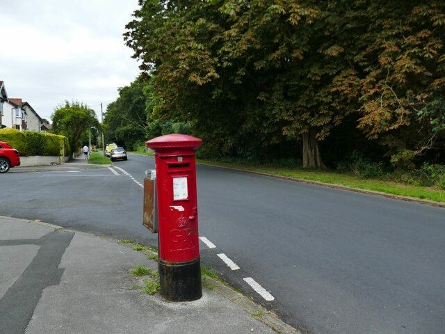
Image: © Stephen Craven Taken: 27 Jul 2024
The postbox is marked GR (but not G VI R) i.e. George V who reigned until 1936. But the 1936 OS map does not show this road; even the 1947 map shows the road laid out but few houses yet. It's just possible that the road was made in 1935/36 before the King's death and before the Ordnance Survey picked it up, with the postbox being installed very early in the residential development. Or else it has been relocated from elsewhere.
Images are licensed for reuse under creativecommons.org/licenses/by-sa/2.0
Image Location
Latitude
53.835449
Longitude
-1.531034