Bridge on Scholes Lane
Introduction
The photograph on this page of Bridge on Scholes Lane by DS Pugh as part of the Geograph project.
The Geograph project started in 2005 with the aim of publishing, organising and preserving representative images for every square kilometre of Great Britain, Ireland and the Isle of Man.

There are currently over 7.5m images from over 14,400 individuals and you can help contribute to the project by visiting https://www.geograph.org.uk
Bridge on Scholes Lane
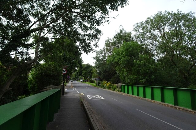
Image: © DS Pugh Taken: 3 Aug 2024
The Cross Gates–Wetherby line would have passed under this bridge which is close to the former Scholes station. For more information on the former railway see: https://en.wikipedia.org/wiki/Cross_Gates%E2%80%93Wetherby_line and for information on the railway station see: https://en.wikipedia.org/wiki/Scholes_railway_station
Images are licensed for reuse under creativecommons.org/licenses/by-sa/2.0
Image Location


Leaflet Map data © OpenStreetMap
Latitude
53.830161
Longitude
-1.430663