Path towards Thorpe under Stone
Introduction
The photograph on this page of Path towards Thorpe under Stone by Gordon Hatton as part of the Geograph project.
The Geograph project started in 2005 with the aim of publishing, organising and preserving representative images for every square kilometre of Great Britain, Ireland and the Isle of Man.

There are currently over 7.5m images from over 14,400 individuals and you can help contribute to the project by visiting https://www.geograph.org.uk
Path towards Thorpe under Stone
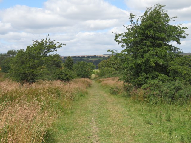
Image: © Gordon Hatton Taken: 3 Aug 2024
The signage at the start of this path might seem a little intimidating with warnings about this being a military training area, but one is unlikely to come across soldiers lurking in the undergrowth or UXB's on the path, which is little used as it doesn't lead anywhere useful.
Images are licensed for reuse under creativecommons.org/licenses/by-sa/2.0
Image Location
Latitude
54.398729
Longitude
-1.802195