The Ridgeway National Trail Board, Kingston Hill
Introduction
The photograph on this page of The Ridgeway National Trail Board, Kingston Hill by David Hillas as part of the Geograph project.
The Geograph project started in 2005 with the aim of publishing, organising and preserving representative images for every square kilometre of Great Britain, Ireland and the Isle of Man.

There are currently over 7.5m images from over 14,400 individuals and you can help contribute to the project by visiting https://www.geograph.org.uk
The Ridgeway National Trail Board, Kingston Hill
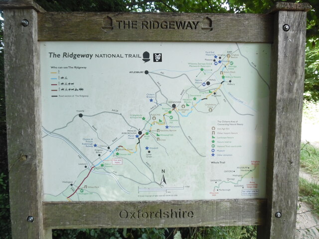
Image: © David Hillas Taken: 28 Jul 2024
This board is located off Kingston Hill OX39 4SF and shows a map of The Ridgeway from Ivinghoe Beacon in the north east to Watlington in the south west. The Icknield Way and the Swan's Way also pass through this location.
Images are licensed for reuse under creativecommons.org/licenses/by-sa/2.0
Image Location
Latitude
51.681906
Longitude
-0.928748